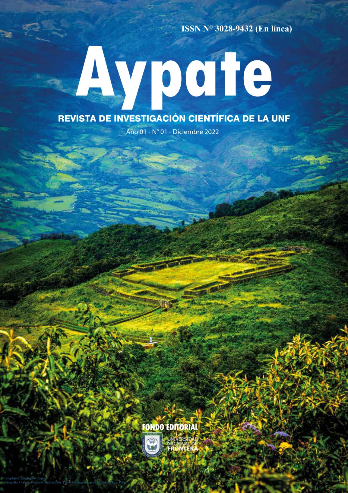
Spectral signatures of plant species, soil and water in the Chira river basin, Piura region
DOI:
https://doi.org/10.57063/ricay.v1i1.9Keywords:
Spectral signature, spectroradiometer, satellite image, Chira river basin, FieldSpec4Abstract
Monitoring and remote sensing are growing exponentially, especially regarding the dynamics of the spectral behavior of different objects on the earth's surface; therefore, such observations allow understanding of various phenomena with updated information, serving to make responsible decisions in this context. Thus, a spectral signature obtained with the FieldSpec4 spectroradiometer allows the identification by remote sensing of different types of plant species covered, soil, and water in the Chira river basin, Piura region. The geographic satellite location of the watershed was elaborated using the corresponding shape, a DEM digital elevation model, SNAP, and ENVI; then, based on spectral patterns, these species were classified from the construction of spectral libraries containing wavelengths from 350 nm to 2500 nm with an interval of 1 nm, corresponding to ground reflectance values between 0 and 1. Finally, the processing and presentation of the collected spectral signatures were proces- sed in the office, performing the corresponding filtering of the original data and the application of the moving verage method, thus determining spectral signatures of plant species, such as: Muntingia calabura, Jatropha curcas, Ipomoea carnea la popular borrachera, Inga feuilleei, among others; soil with chamiso, soil with overal, rocky soil, soil with cadmium, among others; and, the water of the Chira river basin, Piura region, measured with the spectroradiometer FieldSpec4, thus systematizing a library of spectral signatures, which in future works would serve to obtain or classify maps of land cover, land use among others, of different elements on the surface of the earth in any geographic area of interest.
References
Adami, M., Bernardes, S., Arai, E., Freitas, m., Shimabukuro, y., Espírito-Santo, F., Rudorff, B. y Anderson, L. (2018). Seasonality of vegetation types of South America depicted by moderate resolution imaging spectro radiometer (MODIS) time series, International Journal of Applied Earth Observation and Geoinformation, Volume 69, Pp. 148-163, ISSN 1569-8432. https://doi.org/10.1016/j.jag.2018.02.010 DOI: https://doi.org/10.1016/j.jag.2018.02.010
Aldana, C., Revilla, M., Gonzales, J., Saavedra, Y., Moncada, W., & Maicelo, J. (2020). Relación de firmas espectrales para la identificación de bosque seco en imágenes de satélite Sentinel 2, cuenca baja del río Chira, Región Piura. In Revista de Teledetección (Issue 56, p. 147). Universitat Politecnica de Valencia. https://doi.org/10.4995/raet.2020.14110 DOI: https://doi.org/10.4995/raet.2020.14110
Aldana, C., Saavedra, Y., Gonzales, J., Gálvez, D., Palacios, C., Aldana, W., & Moncada, W. (2021). Spatial-tem poral agricultural production of Citrus x limonand Mangifera indica, using spectral signatures and satellite images. In Scientia Agropecuaria (Vol. 12, Issue 4, pp. 557–570). Universidad Nacional de Trujillo. https://doi.org/10.17268/sci.agropecu.2021.060 DOI: https://doi.org/10.17268/sci.agropecu.2021.060
Alonso, C., & Moreno, V. (1996). Análisis multitemporal de imágenes LANDSAT TM en la cartografía de las masas de hielo y nieve aplicada a la modelización hidrológica. Asociación Española de Teledetección. Disponible en: http://www.aet.org.es/revistas/revista7/AET7_4.pdf
ASD Inc. (2017). FieldSpec 4 Hi-Res High Resolution Spectroradiometer. https://www.asdi.com/products-and-services/fieldspec-spectroradiometers/fieldspec-4-hi-res
Borole*, V. Y., Kulkarni, Dr. S. B., & Bhise, P. R. (2019). Soil Spectral Signature Analysis for Influence of Fertilizers on Two Different Crops in Raver Tahshil. In International Journal of Recent Technology and Engineering (IJRTE) (Vol. 8, Issue 3, pp. 659–663). Blue Eyes Intelligence Engineering and Sciences Engineering and Sciences Publication - BEIESP. https://doi.org/10.35940/ijrte.b2640.098319 DOI: https://doi.org/10.35940/ijrte.B2640.098319
Borràs, J., Delegido, J., Pezzola, A., Pereira, M., Morassi, G., & Camps-Valls, G. (2017). Clasificación de usos del suelo a partir de imágenes Sentinel-2. In Revista de Teledetección (Issue 48, p. 55). Universitat Politecnica de Valencia. https://doi.org/10.4995/raet.2017.7133 DOI: https://doi.org/10.4995/raet.2017.7133
Han-ya, I., Ishii, K., & Noguchi, N. (2010). Monitoring Rice Growth Environment by Low-altitude Remote Sensing Using Spectroradiometer. In IFAC Proceedings Volumes (Vol. 43, Issue 26, pp. 184–189). Elsevier BV. https://doi.org/10.3182/20101206-3-jp-3009.00032 DOI: https://doi.org/10.3182/20101206-3-JP-3009.00032
Jianxi, H., Yuzhuo, H., Wei, S., Junming, L. y Dehai, Z. (2017). Mapping corn and soybean cropped area with GF-1 WFV data[J]. Transactions of the Chinese Society of Agricultural Engineering, 33(7):164-170. DOI:10.11975/j.issn.1002-6819.2017.07.021
Palamuleni, L., Annegarn, H., Kneen, M., & Landmann, T. (2007). Mapping rural savanna woodlands in malawi: a comparison of maximum likelihood and fuzzy classifiers. In 2007 IEEE International Geoscience and
Remote Sensing Symposium. 2007 IEEE International Geoscience and Remote Sensing Symposium. IEEE. https://doi.org/10.1109/igarss.2007.4423035 DOI: https://doi.org/10.1109/IGARSS.2007.4423035
Peddle, D. R., Peter White, H., Soffer, R. J., Miller, J. R., & LeDrew, E. F. (2001). Reflectance processing of remote sensing spectroradiometer data. In Computers & Geosciences (Vol. 27, Issue 2, pp. 203–213). Elsevier BV. https://doi.org/10.1016/s0098-3004(00)00096-0 DOI: https://doi.org/10.1016/S0098-3004(00)00096-0
Van Dijk, D., Shoaie, S., van Leeuwen, T., & Veraverbeke, S. (2021). Spectral signature analysis of false positive burned area detection from agricultural harvests using Sentinel-2 data. In International Journal of Applied Earth Observation and Geoinformation (Vol. 97, p. 102296). Elsevier BV. https://doi.org/10.1016/j. jag.2021.102296 DOI: https://doi.org/10.1016/j.jag.2021.102296
Vasava, H. B., & Das, B. S. (2022). Assessment of Soil Properties using Spectral Signatures of Bulk Soils and Their Aggregate Size Fractions. In Geoderma (Vol. 417, p. 115837). Elsevier BV. https://doi.org/10.1016/j. geoderma.2022.115837 DOI: https://doi.org/10.1016/j.geoderma.2022.115837
Zhao, H., Wang, Y., Liu, S., Li, K., & Gao, W. (2019). Spectral reflectance characterization and fiber type discrimination for common natural textile materials using a portable spectroradiometer. In Journal of Archaeologi cal Science (Vol. 111, p. 105026). Elsevier BV. https://doi.org/10.1016/j.jas.2019.105026 DOI: https://doi.org/10.1016/j.jas.2019.105026
Zeferino, L. B., Souza, L. F. T. de, Amaral, C. H. do, Fernandes Filho, E. I., & Oliveira, T. S. de. (2020). Does environmental data increase the accuracy of land use and land cover classification? In International Journal of Applied Earth Observation and Geoinformation (Vol. 91, p. 102128). Elsevier BV. https://doi.org/10.1016/ j.jag.2020.102128z DOI: https://doi.org/10.1016/j.jag.2020.102128


